QGIS is a great open source GIS software that I often use to display information in various formats (e.g. SHP). It has an interesting number of additional plug-ins that enhance its capabilities.
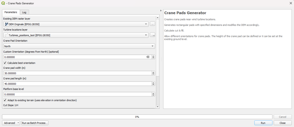
Over this Christmas break I managed to find a few hours and have virtually finished developing a plug in that helps define the best location for wind farm crane pads.

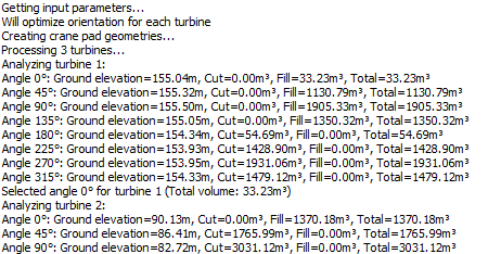
The plug in heads several possible positions for the platform, “rotating” it around the position of the turbine. For each position it computes the ground movement (considering only the platform area, and ignoring cut and fill slopes).
I currently try eight positions (North, Northeast, East, etc.) but evidently you can modify the code to try more (e.g., every 10 degrees) or less
Once it has found the angle with the lower earthworks it calculate cut and fill slopes.
This way the plug in has a reasonable speed (about one minute per position).

If you are patient or need a higher level of optimization, it is possible to compute the full earthworks (i.e., calculating the slopes) at each rotation angle.
In this case it’s quite a bit slower. At few minutes per location, if you have a wind farm with 100+ turbines you’ll have enough time to see The Lord of the Rings: The Return of the King (201 minutes).
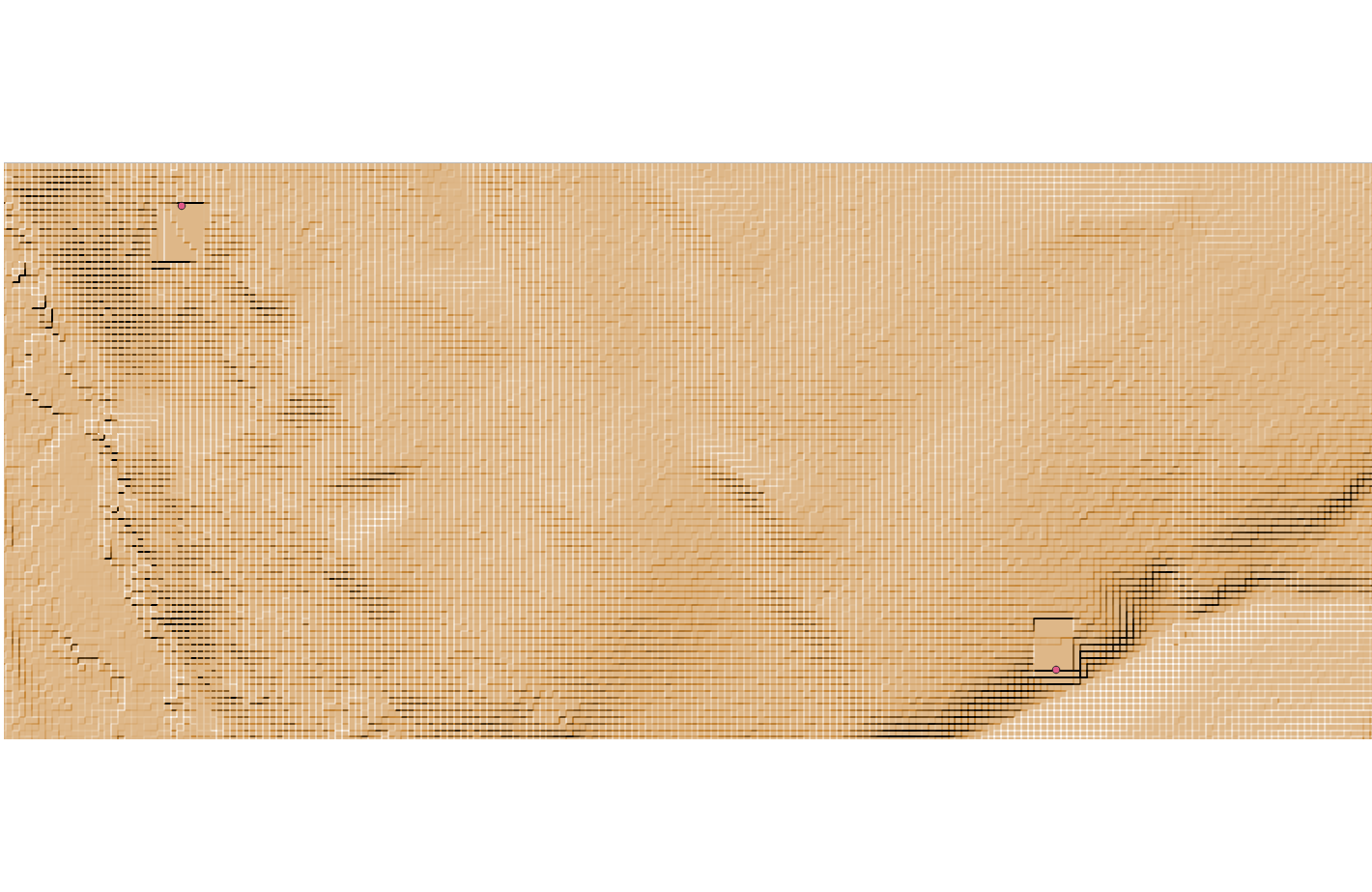
The end result is a DEM with the ground after the turbines were made and a summary of excavations and embankments at each location.

The end result is a DEM with the terrain shape after crane pads construction, and a summary of excavations and embankments at each location.
Right now I’m working with rectangular platforms, but in the next few days I should be able to implement the ability to use platforms with an arbitrary shape.

Leave a Reply