LIDAR topography is the best available solution available nowadays.
We have used it in several wind farms and I’m enthusiast of the results. It can be used to define earthworks with great precision.
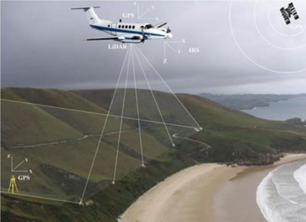
Basically it is made with an airplane flying with a laser, a digital camera and a GPS.
The laser “sweep” the requested area and a receiver on the plane register the laser beam waves reflected by all the surfaces. At the same time high quality digital pictures are taken, and the position of the plane is registered thanks to the GPS.
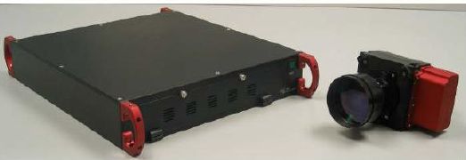
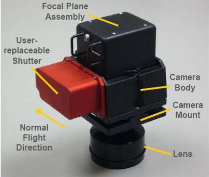
This is how the equipment used looks like:
After the flight, the cloud of point obtained is filtered: first of all points are divided in classes, depending on the type of reflection (“echoes”). Groups of points representing trees, bushes, buildings and so on can be defined.
In the second filtering the intensity of the reflected beams is considered (vegetation and ground reflect with very different intensity).
The next step is to calculate a mean between different laser passages, as the same point may appear in slightly different coordinated.
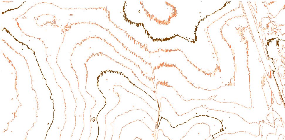
This kind of mistake introduces a noise in the results, and contour lines may results as broken lines instead of smooth lines:
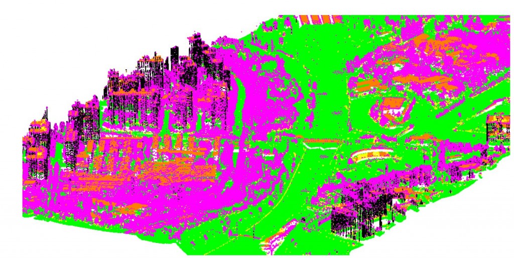
As a result of this data cleaning process, all the point can be classified as belonging to a type surface (trees, grass, building, and ground) and it’s possible to visualize them with a different color.
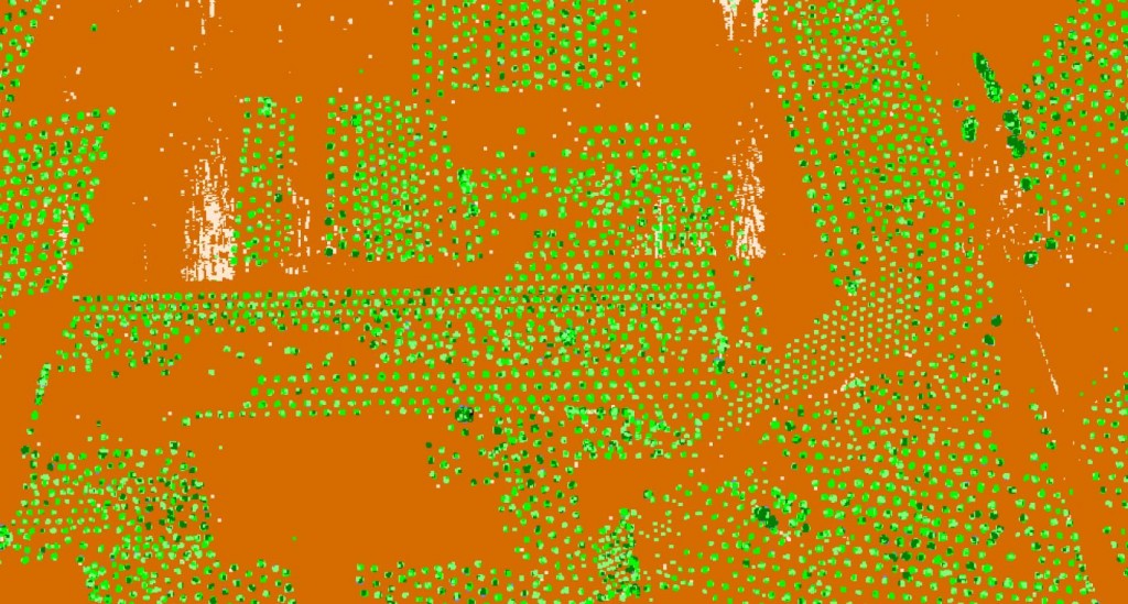
You can see in the following image some examples. In the first, an agricultural area is mapped. In green you can see the trees and in brown the ground:
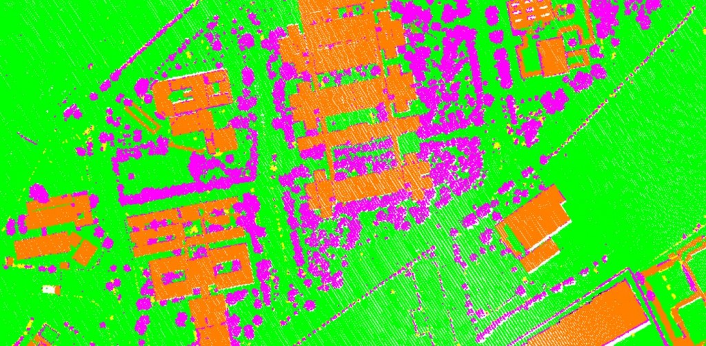
 In this other example, we mark in green the ground, in violet the trees and in brown the buildings:
 In this final example, you can see as a whole town would look like in a cloud of points:
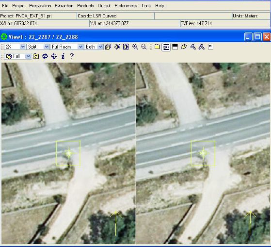
Control point are manually selected identifying them in the picture. They are used to put the data in the correct absolute coordinates:
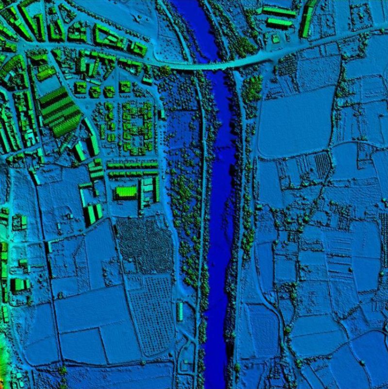
Finally, a digital terrain model is produced using the Delaunay triangulation, to maximize the area of the triangles.
As you can see, the results are often exceptional:
Leave a Reply